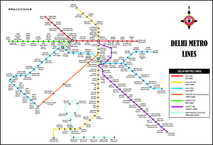
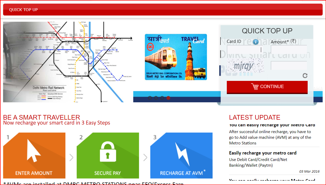
The Delhi Metro map is a schematic, color-coded representation of the intricate metro network managed by DMRC, spanning Delhi and the wider National Capital Region (NCR) including cities like Noida, Gurugram, Faridabad, Ghaziabad, Bahadurgarh, and Ballabhgarh. Lines are visually distinct through specific colors like Red, Yellow, Blue, Green, Violet, Pink, Magenta, Aqua, and Grey.
A comprehensive DMRC (Delhi Metro Rail Corporation) metro map depicts the various lines, stations, and interchange points of the Delhi Metro network.
The Color-Coded Network Structure
- Red Line: Rithala to Shaheed Sthal (Ghaziabad); the first operational line since 2002.
- Yellow Line: Samaypur Badli to Millennium City Centre (Gurgaon), serving as the North–South corridor.
- Blue Line: One of the longest routes running from Dwarka Sector 21 to Noida Electronic City and Vaishali.
- Green, Violet, Magenta, Pink, Aqua, Grey: Each serves distinct corridors and interconnect through various interchange stations.
- Airport Line (Golden/Orange Line): Connects New Delhi Railway Station with the airport’s Yashobhoomi Dwarka Sector-25; has evolved from the earlier “Silver Line” concept.
Scale and Capacity
- 10 operational colour-coded lines, totaling about 395 km and 289 stations
- It includes varied infrastructure: elevated, underground, and at-grade tracks, utilizing both broad and standard gauge rails
Interchange Hubs
Interchanges are key for seamless travel:
- Pink Line: Intersects with multiple lines — Red at Netaji Subhash Place and Welcome; Yellow, Green, Blue, Violet, and others at various stations
- Major hubs like Kashmere Gate, Rajiv Chowk, Hauz Khas, and Central Secretariat play crucial connectivity roles
- A noteworthy upcoming expansion on the Pink Line (Maujpur–Majlis Park) will complete a circular ring route, enhancing connectivity across diverse city zones
Ongoing & Future Expansion
Delhi Metro continues to grow:
- Phase IV is already underway, extending connectivity to new areas including the Golden Line and several line-specific extensions
- Red Line Phase IV and V expansions are planned towards Kundli and Sonipat, adding numerous elevated stations
- The Pink Line’s ring completion will make it the first fully circular metro line in Delhi
Accessing the map
- Official Website: You can find the interactive map on the National Portal of India.
- Mobile apps: Several mobile applications provide a digital version of the Delhi Metro map, allowing you to plan your journey and check fares.
- Physical maps: Physical maps are also available at most metro stations and ticket counters
Benefits of using the metro map
- Journey planning: Helps visualize routes and identify the best way to reach your destination.
- Station identification: Locate specific stations and their corresponding lines.
- Interchange navigation: Plan transfers efficiently at interchange stations.
- Fare calculation: Many online and app-based maps also allow you to calculate the fare between your origin and destination
Why the Map Matters
- Commuter-Friendly Navigation: Enables quick identification of routes, directions, and interchanges.
- Planning Tool: Great for both daily commuters and tourists to efficiently chart travel plans.
- Reflects Urban Growth: Demonstrates how DMRC has steadily metro-charted Delhi and its NCR over decades

